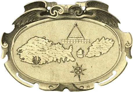
On the occasion of the Spanish presidency of the Council of the EU, the Spanish National Library (BNE) launched the exhibition History and identity: Europe in 12 maps. The exhibition is the result of a partnership between the cultural institution and the Coordination Office for the Spanish presidency of the Council of the EU, and […]
Join Our Community
Post Road Maps
Post road maps showed road systems as a means of guidance for travellers. In 1675 Ogilby published the Britannia – a Geographical and Historical Description of the Principal Roads thereof consisting of 100 maps of the principal roads of England and Wales, engraved in strip form, giving details of the roads themselves and descriptive notes of the country on either side, each strip having a compass rose to indicate changes of direction. Post road maps were also used to establish a distribution network for public mail.